ROI Pixel Reprojection Background
ROIs that contain map information, such as ones created from the Region of Interest (ROI) Tool or certain .xml files, can be displayed with any raster that contains a compatible geographic overlap. If the base raster visualization contains a different resolution or map projection than the ROI definition, the ROI visualization layer will be reprojected to match the base raster. How ENVI reprojects ROIs onto a raster that has a different pixel size or a different projection depends on how the ROIs were originally defined. ENVI reprojects ROIs as follows:
- Geometry-based ROIs use the inclusion rules that determine which pixels are in or out of the ROI.
- Pixel-based ROIs are first vectorized into a square geometric region and its vertices are reprojected, then the inclusion rules are applied.
In some cases, images have a different pixel size but use the same projection. These images are more closely aligned, so it might appear as though ROI reprojection is incorrect. An example of this is illustrated in the examples that follow. In general, when you define pixel-based ROIs, those ROIs work best with the image on which they were created. When pixel-based ROIs are transformed to an image with a different projection or pixel size, the result will be an approximation unless the pixel sizes are exact integermultiples with no offset. If you need to use pixel-based ROIs on an image with a different resolution or pixel size, it is best to define the ROIs in the image in which they will be used.
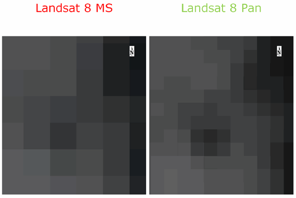
Below are two Landsat 8 images of the same area, geo-linked in the ENVI view. These images were acquired from panchromatic and multispectral sensors, with the resolution of the panchromatic sensor being four times higher than the multispectral sensor. There is an offset between the pixel corners so that the panchromatic and multispectral pixels do not line up on integer boundaries.

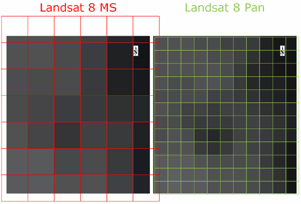
The next image is zoomed in to see the individual pixels, which are highlighted with a grid.

The example below shows the images and grids overlaid, to show how the pixels line up:
![]()
When the pixel-based transformation rule is applied to reproject the ROIs onto the multispectral image, the following example shows the likely result for pixel inclusion in the ROI. As illustrated below, given the large offset between the two images, there is no "correct" answer.
![]()
With images that have a smaller offset than the Landsat 8 example, it is possible to have a number of possible results for the pixel's reprojection, as in the following example:
![]()